Directions ~ How to find us
follow us on Facebook ![]()
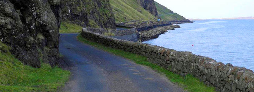
Lip na Cloiche is about 45 minutes from the Craignure ferry terminal, and 40 minutes from Tobermory, situated on the B8073.
There are two routes to Lip na Cloiche, depending on whether you are coming from the south (Salen) or north (Dervaig).
Coming from South
Take the left turn at Salen onto the B8035, and at Gruline take the right turn (signposted Ulva Ferry) onto the B8073. Follow the B8073 around the shores of Loch Na Keal, past Ulva Ferry and alongside Loch Tuath. About 1.7 miles after Ulva Ferry school you will pass Eas Fors waterfall.
Lip na Cloiche is the third house on the right, about a mile after Eas Fors.
Coming from the North
Leave Dervaig village on the B8073 heading towards Calgary. After about a mile, just after leaving the side of Loch Cuin, take the unnumbered road on your left, (not showing on google map until you zoom in) signposted to Ulva Ferry. Stay on this road until it (re)joins the B8073 at Achleck and then turn to the left, signposted Ulva Ferry. Travel down this road with Loch Tuath on your right for 1.3 miles.
Shortly before Lip na Cloiche you will see a 'blind summit' sign on the left.
Lip na Cloiche is about half a mile further on from this.
If you require any further directions, do please get in touch.